Upload date
All time
Last hour
Today
This week
This month
This year
Type
All
Video
Channel
Playlist
Movie
Duration
Short (< 4 minutes)
Medium (4-20 minutes)
Long (> 20 minutes)
Sort by
Relevance
Rating
View count
Features
HD
Subtitles/CC
Creative Commons
3D
Live
4K
360°
VR180
HDR
286,032 results
remote sensing animation video
remote sensing process
satellite remote sensing
remote sensing lecture
types of remote sensing
remote sensing applications
remote sensing gis
remote sensing civil engineering
remote sensing platforms
remote sensing in agriculture
what is remote sensing in tamil
remote sensing course
This conceptual animation illustrates the basic idea of satellite remote sensing. Satellite measurements are taken from a number ...
1,098 views
1 year ago
Eyes in the Sky And Analysis of Information.Part 2:Geostationary Satellites and Sun Synchronous Satellites. First part video link:- ...
211 views
4 years ago
Would you like to help us out? Take this quick survey: https://s.si.edu/30H4LrF Do you know what remote sensing is? Find out on ...
38,897 views
3 years ago
Remote sensing, sattelite, data transmission knowledge video ,information ,child dovelopment awarness, animatics animtion ...
11,646 views
6 years ago
The Earth Resources Observation and Science (EROS) Center has created a video animation describing how Landsat 8 orbits the ...
36,331 views
8 years ago
Remote sensing is the acquisition of information about an object or phenomenon without making physical contact with the object ...
173,771 views
7 years ago
Animated Video created using Animaker - https://www.animaker.com Assignment Sem 4, 2018.
77 views
What is Remote Sensing? Let's understand the term in detail. #RemoteSensing #gis #geospatial #space.
441,080 views
NovaSAR-S is a technology demonstration mission that delivers Earth observation Synthetic Aperture Radar imagery, day and ...
3,770 views
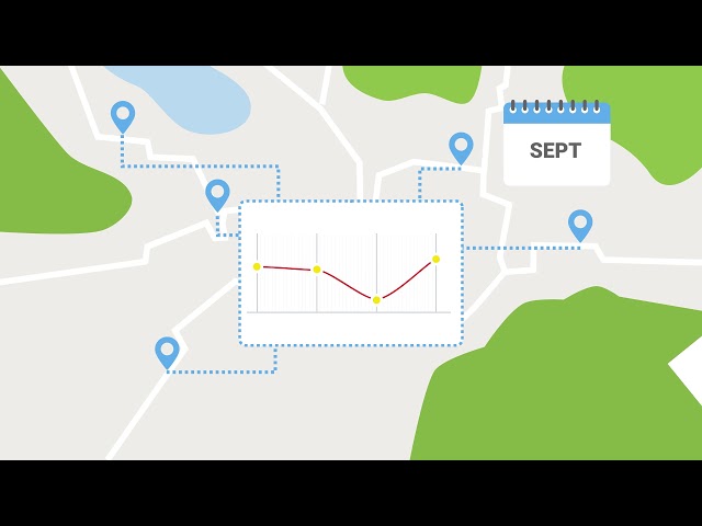
Most of the time, inspecting larger areas is extremely time consuming. In order to gain more efficiency, one can apply remote ...
410 views
ICCT.
93 views
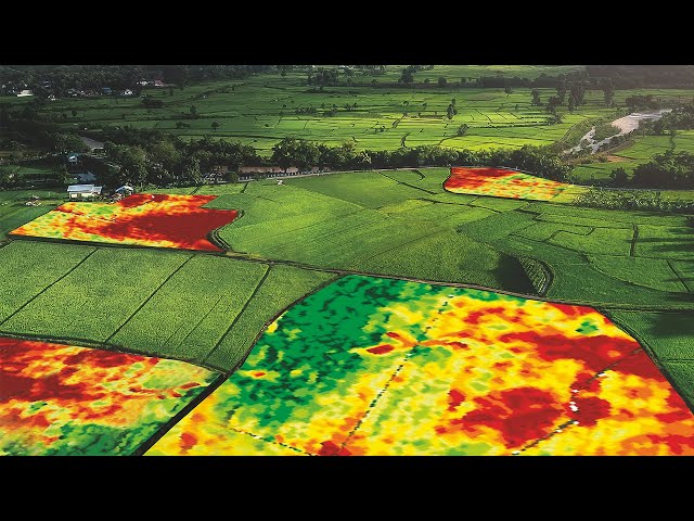
This video shows how remote sensing techniques (particularly optical remote sensing) can benefit precision agriculture to ensure ...
1,864 views
5 years ago
Satellite #AnimatedChemistry #KineticSchool Chapters: 0:00 Kinetic school's intro 0:18 Satellite 0:32 Types of satellite orbits By ...
1,218,056 views
A brief animated look at the different types of remote sensing techniques that NASA uses to study the Earth. This video is public ...
61,905 views
10 years ago
Do you know what an Earth observation satellite does? The answer is lots of different things! There are some that monitor the ...
2,247 views
What is remote sensing?
2,100 views
13 years ago
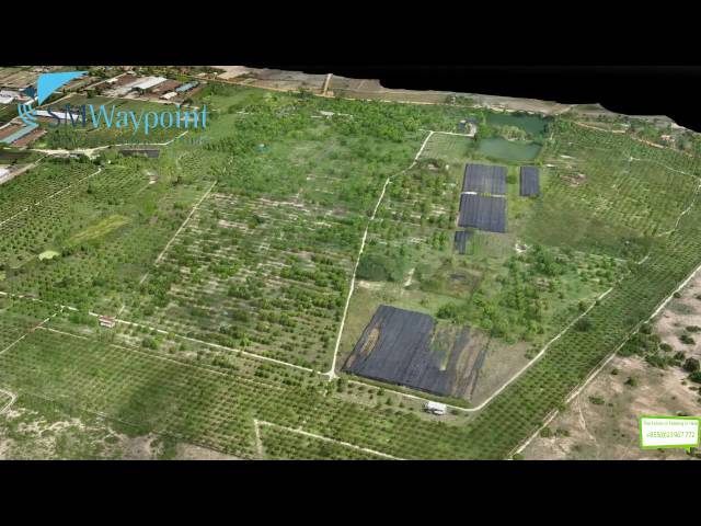
SM Waypoint is a high-technology firm delivering precision remote sensing throughout Cambodia. Our signature service offerings ...
326 views
9 years ago
Technological advancements in precision agriculture have made it possible for farmers to improve their productivity effortlessly.
55,096 views
2 years ago
SAR satellites differ with respect to their wavelength, which affects their spatial resolution and sensitivity to displacement, i.e., the ...
10,581 views